The Signals Area
Watch Office, Ambulance Shed, Fire Engine Shed and Windsock

The southern edge of the of the airfield was home to the signals area, which comparison photos are shown here from the area on the 1944 aerial photo and the aerial photo from 2016 - the location of the station control tower (watch office) is marked in Yellow, the ambulance garage in White and the Fire Engine shed in Red

WATCH OFFICE
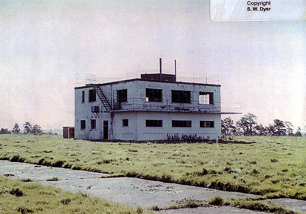
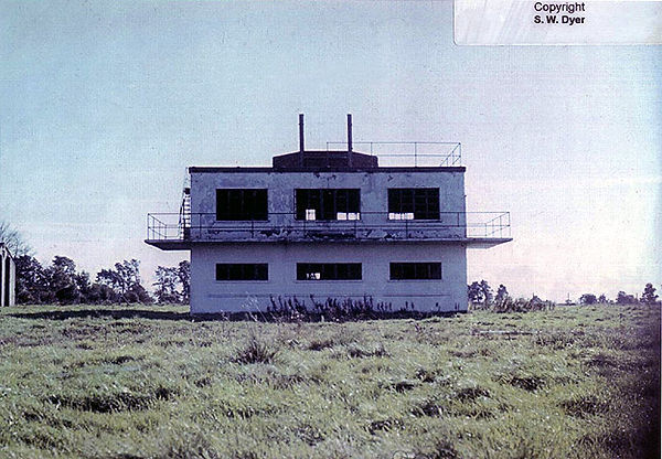
The station control tower (watch office) was a 12779/41 type with 343/42 type small front windows
These photos (C) S W Dyer/Fred Dyer 1961 source http://www.controltowers.co.uk/b/blakehill_farm.htm - permission applied for use
The Control Tower is now completely demolished - nothing remains except crop marks.


The photo above demonstrates the change in grass colour defining the original pathway from the perry track to the watch office.
Marked by the white pole, it is features like this which are very difficult to locate without without field walking in favourable conditions.

FIRE ENGINE AND AMBULANCE SHEDS
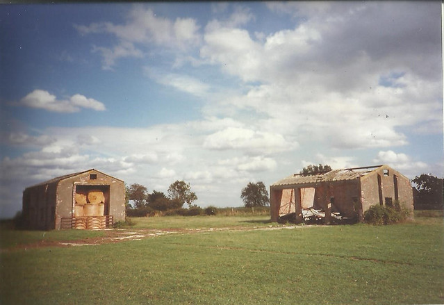
Photographed here in the mid 90's (source Cricklade Museum) the fire engine shed is on the left and the ambulance shed is on the right.
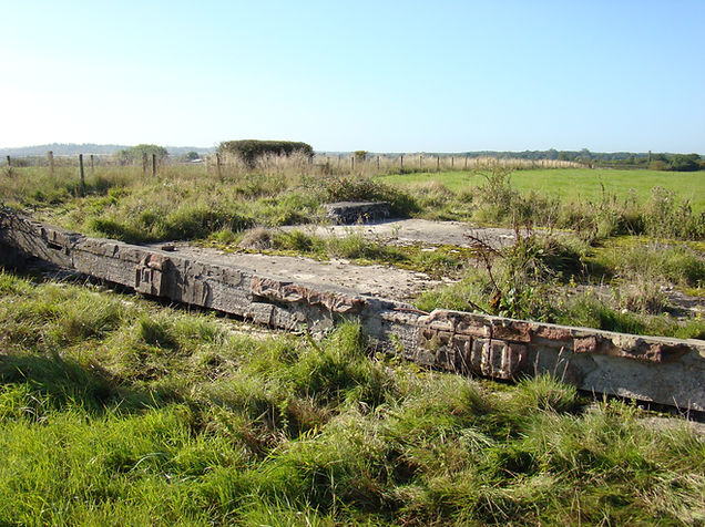
Both structures are demolished as of 2017.
NOTHING REMAINS AND THIS IS PRIVATE LAND WITH NO PUBLIC ACCESS
The sad remains of the ambulance shed - Author Dec 2016
The fire engine shed taken mid 1990's - Cricklade Musem

WIND SOCK
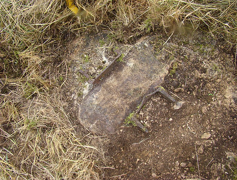
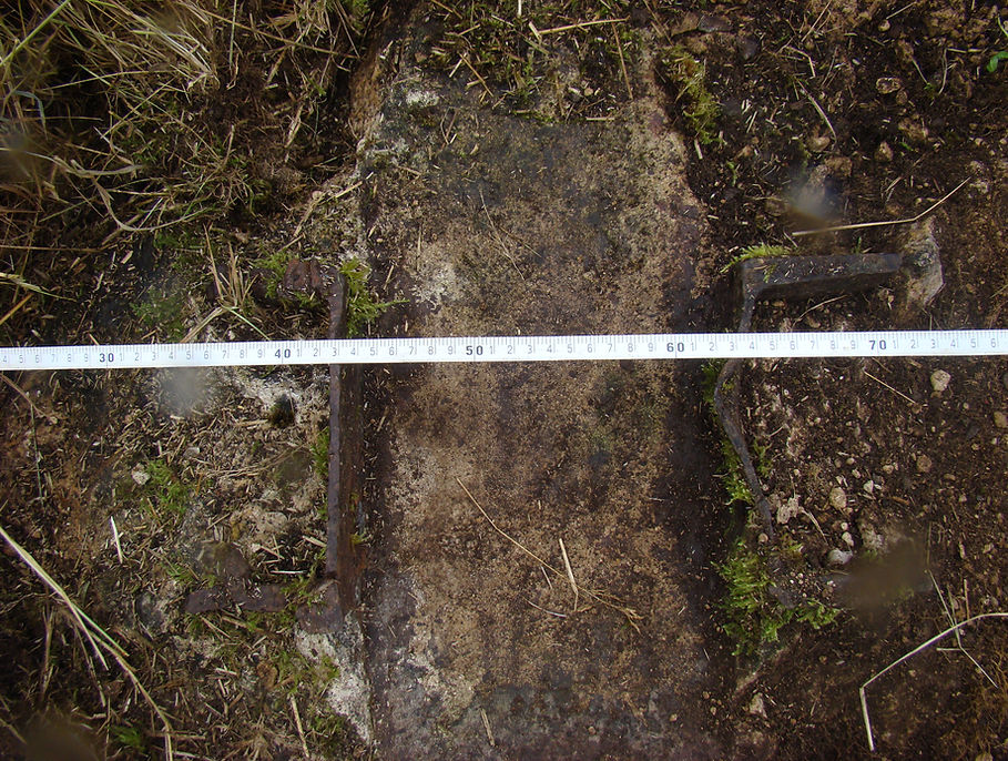
The 'Wind Cone' or more commonly called "wind sock" was the standard of its type situated approximately 50 meters to the east of the control tower.
This was how the wind sock pole looked during the mid 1990's, however by 2016, some excavation was required to find the windsock base socket.
Its buried stump and the nature in which the pole has been cut down for scrap demonstrates how little thought was given to the preservation of the airfield and its infrastructure - see photos

